Kilimanjaro National Park
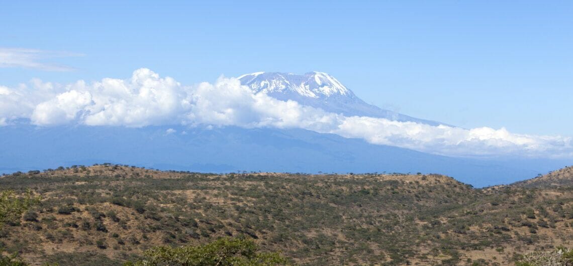
Kilimanjaro National Park
Kilimanjaro National Park in Tanzania is located south of the Kenyan border northeast of Arusha. It is 300 kilometres south of the equator near the city of Moshi covering an area of 1,688 sq. km.
It also covers the whole of Mountain Kilimanjaro, which is 5,895m high and the biggest attraction in the park. The dormant volcano with three volcanic cones namely Kibo, Mawenzi and Shira is the highest mountain in Africa and the highest single free-standing mountain in the world at 5,895 metres above sea level and about 4,900 metres above its plateau base.
Kilimanjaro’s five unique ecosystems from tropical to glacial (bushland, rain weald, heath & moorland, highland barrens, and ice) make it rich in biodiversity and unique. It is also one of the seven summits and one of the volcanic seven summits with a UNESCO heritage site status given to it in 1987.
Species diversity:
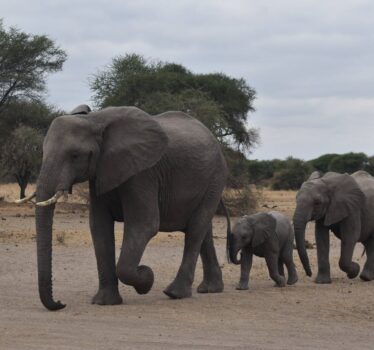
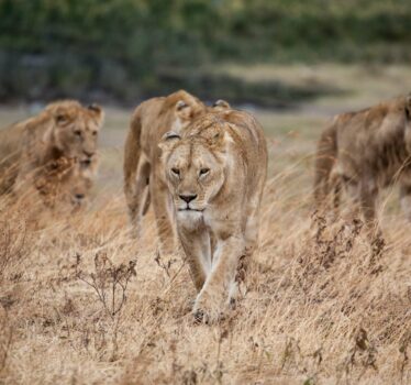
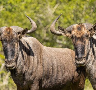
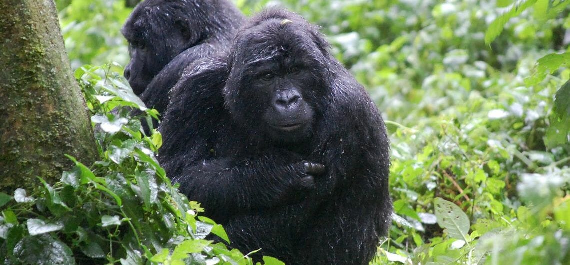
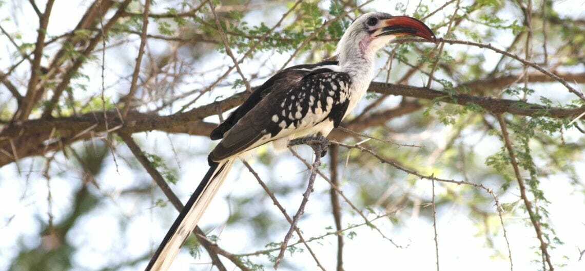
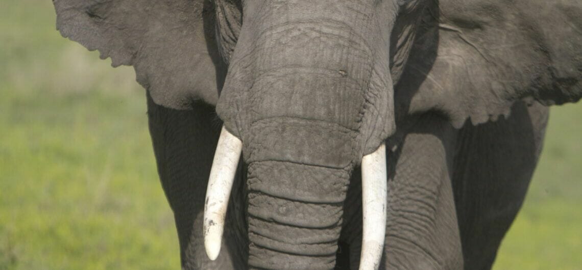
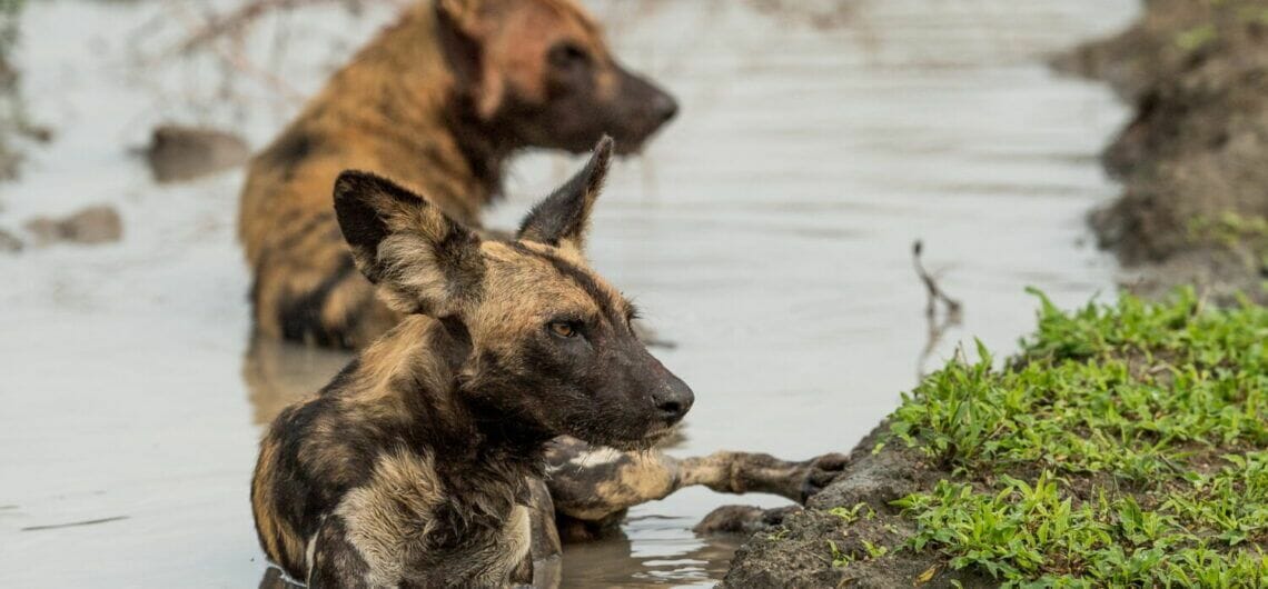
About 150 species of mammals live on or around Kilimanjaro. These include 7 primates, 25 carnivores, 25 antelopes, 24 species of bat, and over 200 bird species. Others like the elephants and buffalos have been spotted above the tree line.
Size and accessibility:
1,688 square kilometres in size and 300 km south of the equator.
Kilimanjaro National Park can be accessed by both road and air.
By car:
Driving from the surrounding areas to Kilimanjaro National Park is possible.
From Arusha city, it is about 1-2hours
From Serengeti National Park, it is about 4-5 hours
From Tarangire National Park, its approximately 4-6 hours
By air:
The Kilimanjaro International Airport is only a 3-4 hours drive from the national park. There are flights from Julius Nyerere International Airport to Kilimanjaro Airport.
Hiking Kilimanjaro:
Mount Kilimanjaro has several routes for hiking to the peak of Uhuru however, each comes with its own advantages and disadvantages. To have a successful hike, climbers are advised to give the climb enough time, be fit and carry enough water and fluids.
Some of the best Routes to hike Mount Kilimanjaro:
Marangu route
The 72km route is the oldest and the only route with permanent accommodation while the other 5 routes use temporary campsites, meaning clients must have porters to help them carry some of the extra necessities in order to have a successful hike.
It is also a cheaper and shorter option with about 40% successful hikes to the peak.
Machame route
The 62 km long route is famous among experienced hikers with a better acclimatization. It also has a beautiful scenery of steep ridges, moorland, and alpine desert.
Lemosho route
The newest route boasts of the most successful hikes about 70% success to the peak. It goes through a rainforest and plenty of flat spots compared to the other routes on the mountain. This can also be compared to the Rongai route a 73km route considered the longest but also one of the most successful routes.
Umbwe route
The hardest of all routes, this is famous for the adventurous and visitors that would like to be challenged, it is short but has steep hikes with a 32km sharp ascent.
Activities:
Birdwatching
Day and Night Game drives
Primate trekking
Visiting the Chala crater lake
Cultural tours to the Chagga tribe
Cycling around the Chagga village
